ZenaDrone Homepage

Why Do Buyers Choose a Long Range Drone?

Why do buyers choose a long range drone? The answer is rarely distance alone. Buyers often need to inspect remote assets, survey broad sites, or cover fields where frequent battery changes interrupt work. A drone that stays airborne longer can reduce interruptions and help teams collect more consistent data. But range claims need context.

A useful expert perspective comes from Dr. Ella Atkins, an aerospace engineer and researcher in autonomous aircraft. A concise paraphrase of the engineering trade-off—not a verified direct quotation—is: “Useful range matters only when reliability, payload, and mission needs align.” That distinction is important. A long-range specification does not guarantee dependable results in wind, cold, or complex terrain.

For buyers, the practical questions are concrete. How much usable flight time remains after carrying the required camera or sensor? Can the aircraft maintain a stable link across the planned route? Are batteries, maintenance, and data workflows manageable? A map may show a clear route; hills, trees, and buildings can tell a different story. Small details matter.

This outline examines the factors behind the purchase: endurance, payload, communication, safety features, and operating costs. It also considers what range figures leave out. No aircraft fits every job. Buyers should compare tested performance with their actual mission, not just the largest number on a product page. That takes a little skepticism—and careful planning.
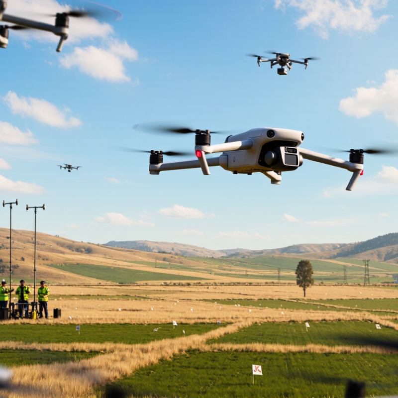
Why Do Buyers Choose a Long Range Drone?

What Defines a Long-Range Drone: Endurance, Link Distance, and Payload

A long-range drone is not defined by one impressive number. Buyers should examine endurance, control-link distance, and payload together. A quoted flight time may assume a light aircraft, mild weather, and a fresh battery. Real missions rarely line up so neatly. A camera, sensor, or delivery fixture adds weight and can shift the aircraft’s balance.

Endurance describes how long the drone can stay airborne, but usable flight time should include a safe reserve for landing. Wind, cold temperatures, and repeated climbs can reduce that margin. Link distance is different: it measures how far the aircraft can remain connected to its controller under stated conditions. Buildings, terrain, antenna direction, and radio interference may shorten that distance. The label can mislead.

Payload capacity is not just a maximum weight figure. A heavier load can cut flight time, while a powered sensor may draw energy directly. Check the payload’s weight, dimensions, power needs, and mounting position against the aircraft’s specifications. For example, a compact inspection camera may be lighter than a larger unit, yet still need a stable mount and clear data link. I would question any specification that omits its test conditions; comparison gets difficult without them.
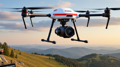
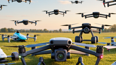
Why Endurance Matters: The eBee X Is Rated for Up to 90 Minutes

A 90-minute endurance rating can change the shape of a survey day. Crews may cover a larger site, capture overlapping images, and spend less time landing to replace batteries. On a windy ridge, that reserve can matter: the aircraft may need extra time to hold a safe, steady survey line. “Up to” is important, though. Payload weight, temperature, wind, and battery age all reduce real flight time.

The business case is broader than one mission. PwC’s 2016 Clarity from Above report estimated $127.3 billion in potential annual value from drone-powered solutions, including $45.2 billion for infrastructure. AUVSI’s 2013 economic-impact report projected $82 billion in U.S. economic impact by 2025. Both figures are historical forecasts, not proof of current results, but they show why efficient data collection attracted investment. Longer flights can mean fewer interruptions and more usable coverage per field visit. Not automatically better data. A rushed route, poor overlap, or changing light can still weaken a map. Battery logs and actual site conditions deserve more trust than a headline endurance figure.

How Long Links Support Fieldwork: Matrice 350 RTK’s 20 km FCC Rating

A long-range control link gives field teams more room to inspect large sites without moving the pilot after every short flight. For the Matrice 350 RTK, the stated FCC rating is up to 20 km under specified conditions. That is a reference figure, not a promise of usable distance on every job. Important distinction.

In open terrain, a strong link can help crews survey a shoreline, check a remote work zone, or document a wide agricultural site from a practical launch point. Yet hills, buildings, trees, and radio interference can weaken the connection. As the aircraft moves farther away, live video may become less responsive, even when control remains available. Operators need to watch link indicators and follow the aircraft’s operating guidance.

The distance number can sound impressive, but range alone does not make a mission safer or more efficient. A careful crew plans for obstacles, return paths, and changing conditions before takeoff. I would treat 20 km as a laboratory-style ceiling, not a field target; that assumption deserves review on each site. Reliable fieldwork depends on maintaining a clear, stable link throughout the flight.

Why Do Buyers Choose a Long Range Drone? - How Long Links Support Fieldwork: Matrice 350 RTK’s 20 km FCC Rating

Dimension Data or operational consideration Why it matters in fieldwork
Published maximum link distance 20 km (about 12.4 mi) under FCC-compliant conditions, as stated in the product rating referenced in the title. Provides a reference for potential communication reach; it is a best-case rating, not a guaranteed working distance.
Measurement conditions Maximum transmission-distance ratings are generally measured in open environments with minimal radio interference and an unobstructed line of sight. Buildings, terrain, vegetation, antenna orientation, and other radio signals can reduce practical range.
Link distance vs. flight distance A 20 km transmission rating describes a communication-link limit under specified conditions; it does not mean the aircraft can fly 20 km out and return. Safe mission planning must account for battery reserve, wind, route, payload, and applicable operating limits.
Large-site inspection A longer link can help maintain a connection while surveying spread-out assets, such as utility corridors or industrial sites, when the route and regulations permit. May reduce the need to reposition the control station between nearby survey sections.
Mapping and surveying Longer communication reach can support operations over broad areas, subject to line of sight, aircraft endurance, and mission design. A stable link helps operators monitor the aircraft and mission status during data collection.
Obstacles and terrain Hills, structures, and dense vegetation can block or weaken radio signals, even when the aircraft is within the rated distance. A route with a clear radio path is often more important than the headline maximum range.
Radio interference Nearby transmitters and local radio-frequency conditions may affect link quality and usable distance. Site assessment and ongoing link monitoring help operators respond to changing conditions.
Regulatory limits Permitted radio power, operating region, and aviation rules vary by jurisdiction. A published FCC-mode rating does not establish authorization to fly a given distance. Operators must follow local requirements, including visual-line-of-sight rules or any applicable waiver or authorization.
Practical planning takeaway Treat 20 km as a theoretical maximum link rating under favorable conditions, not as a routine operating target. Plan conservatively around the site, signal conditions, battery reserve, safety procedures, and local regulations.

Note: Actual range and flight capability depend on operating conditions, configuration, and applicable regulations.

Where Buyers Benefit: Mapping, Infrastructure Inspection, and Agriculture

A long-range drone can help mapping teams cover broad, remote sites with fewer takeoff points. On a large field, consistent overlapping images can support a useful orthomosaic and terrain model. The practical gain is not simply distance. It is fewer interruptions while maintaining a planned image scale and overlap. Wind, terrain, payload weight, and battery condition still shape the usable range. Longer reach does not guarantee better data.

Infrastructure inspectors can use extended flight time to examine long fence lines, canals, or rural power corridors. A stable camera can capture close views of loose fittings, surface cracks, or vegetation near structures. The operator should keep enough reserve to return safely, rather than stretching a route to its limit. A wider route is not always better. I’d check image sharpness and coverage before assuming one flight has captured everything.

Tips: Plan a conservative route, then leave a return reserve. For agriculture, compare imagery from consistent heights and lighting; changing conditions can make crop differences harder to interpret. Record the date, weather, and flight settings. Small details matter. Recheck questionable patches on foot or with suitable ground measurements, because aerial imagery can suggest a problem without confirming its cause.

Why Do Buyers Choose a Long-Range Drone?

Where buyers benefit: mapping, infrastructure inspection, and agriculture

Longer range can help crews cover more distant or spread-out work while reducing launch-site changes. The values shown are illustrative route-planning examples, not industry averages or guaranteed drone capabilities. Actual range depends on aircraft, payload, weather, battery reserves, terrain, and applicable flight rules.

What Buyers Must Consider: FAA Part 107 Requires Visual Line of Sight

Buyers choose long-range drones for fewer battery changes, wider survey coverage, and access to distant inspection points. But advertised transmission range is not the same as lawful operating distance. Under FAA Part 107, 14 CFR §107.31, the remote pilot or a visual observer must maintain visual line of sight throughout the flight. They must be able to see the aircraft unaided, except for corrective lenses, and judge its position, attitude, and direction. A screen view does not replace direct sight. Neither does a long-range control link. Visibility matters.

That limit changes mission planning. Trees, rooflines, haze, and low sun can hide a drone well before its battery runs low. A visual observer can help, but the crew must coordinate clearly and keep the aircraft in sight. The FAA’s 2013 Aerospace Forecast cited an AUVSI study projecting an $82 billion U.S. economic impact from drone integration during 2015–2025. That was a projection, not a measure of realized value; still, it shows why practical operations matter. For buyers, range is useful only when the route, terrain, crew, and applicable FAA approvals support the flight. Part 107 waivers may authorize certain operations outside standard requirements, but approval is not automatic. A planning detail often gets missed: the safest purchase may be the aircraft that covers the job while staying visible. That can feel limiting. It is.

Scroll to Top