



10 Best Infrared Drones for Global Buyers
Infrared drones are changing how professionals inspect assets, monitor land, and respond to difficult field conditions. A visible camera may show a damaged roof, yet a thermal sensor can reveal heat loss, overheated components, or hidden moisture patterns. This difference matters when daylight is weak, access is dangerous, or large areas require rapid screening. The global drone market continues to expand, while thermal imaging remains a strong specialist segment. Grand View Research and MarketsandMarkets both identify growing demand for aerial imaging across infrastructure, energy, agriculture, public safety, and environmental applications. Their market estimates differ because they use different definitions and forecasting methods. That uncertainty deserves attention.
This guide, “10 Best Infrared Drones for Global Buyers,” compares practical choices for international users. It considers thermal resolution, radiometric accuracy, flight endurance, obstacle sensing, weather resistance, software compatibility, and after-sales support. DJI, Autel Robotics, Parrot, and specialized enterprise manufacturers appear in different professional use cases. A compact drone may suit roof inspections, while a heavier platform may better support power-line surveys or industrial maintenance. Look closely at sensor calibration. Do not trust impressive color palettes alone. Thermal readings can change with wind, surface material, emissivity, humidity, and viewing angle. The International Organization for Standardization and FLIR’s technical guidance both emphasize correct measurement practices and operator training. Product specifications are useful, but they are not field results. No ranking is perfectly universal. That is a limitation worth admitting. Buyers should verify regional radio rules, import requirements, data protection duties, and approved operating conditions before purchase.
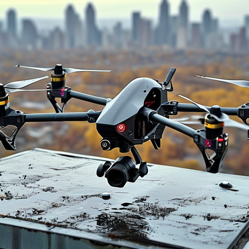
Infrared Drone Technology and Its Main Applications
Infrared drone technology turns heat differences into useful visual data. Thermal cameras detect emitted radiation, helping operators find overheated equipment, missing animals, and stressed crops. In industrial inspections, a bright patch on a transformer may reveal abnormal heat before visible damage appears. Search teams can also scan forests at dawn, when body heat contrasts with cooler ground. Results depend on sensor quality, altitude, weather, and operator training. Infrared does not see through walls. It is not a magic scanner.
For global buyers, application needs should guide sensor selection. Radiometric cameras measure temperature values, while basic thermal cameras mainly show heat patterns. Radiometric data supports electrical inspections and building surveys, but requires careful calibration. Agriculture teams may value wide coverage and stable flight more than extreme image detail. Coastal fog, rain, reflective metal, and strong sunlight can create confusing readings. Field teams should validate unusual findings with a second method. One thermal image can mislead.
Tips: Check local aviation, privacy, and data rules before operation. Request sample images from similar environments, not studio demonstrations. Test battery performance in the expected climate. Keep a visible-light camera for context. Record distance, weather, and camera settings with every inspection. Small details matter. Also, leave room for human judgment; automated alerts can miss slow heat changes or flag harmless reflections.
10 Best Infrared Drones for Global Buyers - Infrared Drone Technology and Its Main Applications
| Rank | Infrared Drone Category | Typical Thermal Sensor | Typical Resolution | Typical Flight Time | Main Applications | Key Advantages | Important Buying Considerations |
|---|---|---|---|---|---|---|---|
| 1 | Sub-250 g Thermal Micro Drone | Uncooled LWIR microbolometer, usually 8–14 μm | 160 × 120 to 256 × 192 | 20–35 minutes | Building checks, roof surveys, basic search support, educational inspection | Very portable, low operating cost, and easier deployment in regulated urban areas | Small thermal sensor, limited wind resistance, shorter range, and lower detail at long distances |
| 2 | Compact Dual-Sensor Inspection Drone | Uncooled LWIR camera combined with a visible-light camera | 256 × 192 or 640 × 512 thermal | 25–40 minutes | Solar-panel inspection, HVAC checks, construction monitoring, utility surveys | Combines thermal evidence with visible images for easier defect identification | Check radiometric measurement capability, image fusion quality, and spare-battery availability |
| 3 | Professional Radiometric Quadcopter | Radiometric uncooled LWIR sensor, commonly 7.5–13.5 μm | 640 × 512 | 25–45 minutes | Electrical substations, power lines, industrial facilities, building-envelope analysis | Higher thermal detail and temperature data for professional reporting | Confirm temperature accuracy, emissivity controls, calibration workflow, and data-export formats |
| 4 | Thermal Zoom Public-Safety Drone | 640 × 512 LWIR sensor with optical and digital zoom | 640 × 512 | 30–50 minutes | Search and rescue, missing-person operations, perimeter monitoring, disaster response | Long-distance observation, target tracking, and improved night-time situational awareness | Evaluate low-light visible imaging, target geolocation, transmission range, and emergency-control features |
| 5 | Industrial Inspection Hexacopter | Radiometric LWIR camera with stabilized gimbal | 640 × 512 or higher | 25–45 minutes | Refineries, storage tanks, bridges, towers, chimneys, and large industrial assets | Greater payload capacity, stable imaging, and improved redundancy compared with many quadcopters | Consider transport size, maintenance, wind tolerance, payload integration, and operational permissions |
| 6 | Thermal Mapping Drone | Radiometric LWIR camera with flight-planning and mapping software | 320 × 256 to 640 × 512 | 25–45 minutes | Landfill monitoring, district heating surveys, building heat-loss mapping, environmental studies | Produces geo-referenced thermal maps instead of isolated images | Check GPS accuracy, ground sampling distance, thermal calibration, overlap settings, and GIS compatibility |
| 7 | Agricultural Thermal and Multispectral Drone | LWIR thermal sensor combined with visible or multispectral bands | 320 × 256 to 640 × 512 thermal | 25–50 minutes | Irrigation management, crop-water stress analysis, disease scouting, livestock monitoring | Helps identify temperature differences that may indicate water stress or abnormal plant conditions | Results depend on weather, crop type, flight altitude, solar conditions, and agronomic interpretation |
| 8 | Long-Endurance VTOL Thermal Drone | LWIR or MWIR payload mounted on a fixed-wing vertical-takeoff platform | 320 × 256 to 1280 × 1024 | 60–180 minutes | Wide-area border observation, wildlife surveys, coastline monitoring, wildfire early warning | Covers much larger areas than standard multirotor aircraft | Requires more airspace planning, higher operator skill, and suitable launch or recovery procedures |
| 9 | Marine and Coastal Thermal Drone | Stabilized LWIR camera, often paired with a low-light visible sensor | 640 × 512 typical | 30–60 minutes | Night-time vessel detection, harbor security, marine rescue, shoreline inspection | Thermal contrast can help reveal people, engines, and vessels in darkness or low visibility | Prioritize corrosion resistance, wind stability, transmission reliability, and local maritime rules |
| 10 | Firefighting and High-Temperature Thermal Drone | High-temperature LWIR sensor; cooled MWIR may be used for demanding missions | 640 × 512 or higher | 20–40 minutes | Hot-spot detection, wildfire assessment, industrial fire response, roof and structural checks | Provides safer remote observation of heat sources and fire boundaries | Verify the sensor's calibrated temperature range, heat-shielding design, smoke performance, and emergency procedures |
Technology note: Most commercial infrared drones use uncooled long-wave infrared sensors operating around 8–14 μm. Cooled mid-wave infrared systems operating around 3–5 μm generally provide higher sensitivity and longer-range performance but are more expensive, heavier, and more power-demanding. Actual flight time, image quality, temperature accuracy, and legal operating limits vary by aircraft configuration, weather, payload, altitude, and country.
Related Posts
-
2026 Best Infrared Drone Reviews and Buying Guide?
-
Top Uses of Infrared Drones: Why They're Essential for Modern Aerial Surveys
-
How to Use Air Drones for Photography and Aerial Mapping?
-
How to Choose the Best Search and Rescue Drone for Your Needs?
-
Top 10 Video Drone Tips for Beginners to Capture Stunning Footage?
-
How to Choose the Best Air Drone for Your Needs?