Buying a construction drone is not simply a technology purchase. It is a field decision that affects safety, surveying speed, project records, and daily costs.
Brandon Torres Declet, a recognized drone-industry executive, has said, “The future of drones is not just about the technology, but about the data and insights they provide.” That idea matters on a dusty jobsite. A sharp camera means little if the software cannot produce usable maps, stockpile measurements, or progress reports. A long flight time also loses value when batteries require difficult replacement or local servicing.
Global buyers face more variables. Weather conditions differ widely. So do terrain, project sizes, training standards, and import requirements. A suitable construction drone for a coastal bridge project may perform poorly on a high-altitude road site. Do not buy from a specification sheet alone. Ask for flight demonstrations, sample deliverables, repair response times, and software compatibility.
Small details can expose major weaknesses. Check whether the controller remains readable under harsh sunlight. Test obstacle sensing near steel structures. Confirm whether the drone can return safely during signal loss. Review data security practices, too.
The decision is rarely perfect.
Budgets create compromises. Some buyers may overvalue camera resolution and undervalue workflow simplicity. Others may choose the cheapest package, then discover hidden training or subscription costs. These ten buying tips help global construction teams compare performance, support, compliance responsibilities, and long-term value before committing to a construction drone.
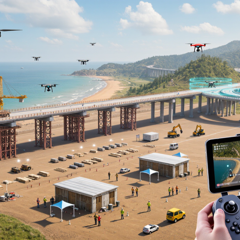
A construction drone should solve a defined site problem, not simply add impressive footage. Start by identifying your primary goal: surveying, progress tracking, stockpile measurement, inspection, or safety documentation. A six-hectare earthworks site may need accurate mapping, while a high-rise project may require detailed façade images. Write down the expected accuracy, flight frequency, and reporting format before comparing equipment.
Tip: Match the drone to the work area. Open land may favor longer flight endurance, while crowded sites need precise positioning and obstacle awareness. Consider dust, wind, heat, rain, and poor lighting. These conditions can quickly expose weak equipment. Also check whether the payload supports the required camera, mapping sensor, or thermal application.
Your team’s skill level matters. A technically advanced system can still fail when operators lack training or site procedures. Confirm data-processing requirements, storage needs, and compatibility with existing surveying software. Local aviation rules, privacy requirements, and permission procedures must also guide the purchase. Requirements differ across countries.
A practical trial flight is valuable. Test the drone near cranes, uneven ground, and reflective surfaces. Review the final map, not just the flight experience. I have seen teams focus on flight time and overlook processing delays. That mistake can reduce the value of otherwise capable equipment. Allow room for revision.
When buying a construction drone, compare flight endurance under real job-site conditions, not only laboratory figures. Drone Industry Insights reported that the global commercial drone market could reach approximately $54.6 billion by 2030. This growth increases product choice, but specifications can be misleading.
Check whether the aircraft maintains stable positioning near cranes, concrete walls, and metal structures. A practical flight time of 25 minutes may be more useful than a claimed 40 minutes. Examine wind resistance, return-to-home accuracy, obstacle detection, and battery replacement time. Small delays become expensive on large sites.
Sensor selection should match the inspection task. High-resolution optical cameras support progress records and quantity checks. Thermal sensors can reveal heat loss, moisture patterns, or overloaded electrical areas. LiDAR helps create terrain and structural models, but it increases payload demands and processing costs. Payload capacity matters beyond weight. Confirm the drone can carry the sensor, mounting system, and spare battery safely. MarketsandMarkets estimates that the LiDAR market will continue expanding through the decade, reflecting stronger demand for accurate three-dimensional mapping. Still, more data is not always better. I have seen teams collect detailed scans that nobody reviewed. Test data transfer, image accuracy, software compatibility, and operator training before purchase. A cheaper aircraft may fail here.
| No. | Buying Tip | Flight Performance to Compare | Typical Professional Range | Sensor Configuration | Payload Capability | Best Construction Use | Practical Check Before Purchase |
|---|---|---|---|---|---|---|---|
| 1 | Match endurance to site size | Prioritize actual working flight time rather than the no-load maximum. | Approximately 25–45 minutes per battery in moderate conditions; wind, cold, and payload reduce endurance. | Downward optical-flow camera and satellite positioning for stable low-altitude work. | Commonly 0.5–2.5 kg, depending on airframe size and battery configuration. | Progress tracking, stockpile surveys, roof inspections, and daily site records. | Request flight-time results with the intended camera, in wind conditions representative of the job site. |
| 2 | Evaluate wind and weather tolerance | Compare wind-resistance rating, hover stability, operating temperature, and precipitation protection. | Many professional multirotors are rated for roughly 10–12 m/s wind; IP-rated systems may support light rain when permitted by the manual. | Inertial sensors, barometer, compass, satellite positioning, and obstacle sensing improve stability in changing conditions. | Payload capacity should remain available after fitting protective covers and weather-resistant accessories. | Coastal projects, high-rise sites, bridges, exposed roofs, and open earthworks. | Check the published IP rating, maximum operating wind, temperature range, and battery limits separately. |
| 3 | Choose the right mapping camera | Consider image sharpness, shutter control, flight-line automation, and overlap consistency. | A 20–24 MP RGB camera with a mechanical shutter is commonly used for accurate aerial mapping. | RGB camera, adjustable aperture where available, global navigation, and terrain-following support. | Camera payloads generally range from about 200–700 g for compact mapping platforms. | Orthomosaics, cut-and-fill calculations, BIM updates, and construction progress documentation. | Verify ground sample distance, shutter type, lens distortion data, and compatibility with photogrammetry software. |
| 4 | Prioritize obstacle detection for confined sites | Compare detection directions, sensing distance, low-light performance, and automatic braking behavior. | Professional systems often provide forward, rear, side, upward, and downward sensing, but coverage varies by flight mode. | Stereo vision, infrared depth sensing, and downward optical flow; radar can improve performance around thin or low-contrast objects. | Allow for sensor housings and protective guards, which can add approximately 100–300 g. | Indoor structures, façades, cranes, scaffolding, utility corridors, and dense urban sites. | Test cables, branches, steel beams, reflective glass, dust, and low-light conditions instead of relying only on specifications. |
| 5 | Select thermal capability for inspection work | Assess radiometric accuracy, thermal sensitivity, temperature range, and image synchronization with RGB data. | Thermal cameras commonly use 640 × 512 or 640 × 512-class sensors; thermal sensitivity around 40–50 mK is typical for professional inspection units. | Radiometric thermal sensor paired with a visible-light camera; optional laser rangefinder on higher-end payloads. | Integrated thermal-and-visible payloads commonly weigh about 400–900 g. | Electrical panels, flat-roof moisture checks, district heating, mechanical equipment, and solar installations. | Confirm that temperature readings are radiometric, calibrated, and suitable for the required inspection distance. |
| 6 | Check zoom and measurement functions | Compare optical zoom, digital zoom quality, laser range measurement, and gimbal stabilization. | Three-axis stabilized inspection payloads may offer approximately 10× optical zoom, with higher combined zoom available digitally. | Wide-angle RGB, telephoto or zoom camera, laser rangefinder, and three-axis gimbal. | Typical integrated inspection payload: approximately 500–1,200 g. | Façade defects, bolt checks, tower inspections, signage, façade joints, and inaccessible structural details. | Ask for sample images at the expected stand-off distance, not only close-range marketing images. |
| 7 | Match payload capacity to the mission | Compare maximum takeoff mass, useful payload at safe endurance, mounting method, and center-of-gravity limits. | Heavy-lift construction platforms commonly support approximately 2–10 kg of payload; actual flight time is substantially lower at maximum load. | Interchangeable gimbal, multispectral camera, LiDAR, spotlight, loudspeaker, or delivery mechanism. | Confirm both maximum payload and recommended payload; a 10 kg rating does not imply 10 kg for long-duration mapping. | LiDAR surveys, material delivery trials, emergency lighting, spraying, and large-area inspection. | Calculate total mass including batteries, mounts, cables, guards, and the heaviest planned sensor. |
| 8 | Assess positioning and navigation reliability | Review satellite positioning support, real-time correction compatibility, inertial backup, and indoor navigation. | RTK-enabled systems can achieve centimetre-level relative positioning under suitable correction and satellite conditions. | Multi-constellation GNSS, RTK or network correction, inertial measurement unit, barometer, compass, and visual positioning. | Positioning modules usually add little payload mass but may require a correction service or base station. | Survey control, façade capture, corridor mapping, stockpile measurement, and repeatable progress flights. | Verify correction coverage, coordinate-system support, multipath behavior, and performance near steel structures. |
| 9 | Compare control link and data security | Consider practical control range, latency, frequency management, return-to-home behavior, and operation in congested areas. | Long-range links may be advertised at 10–15 km under regulatory line-of-sight conditions; built-up environments usually reduce range significantly. | Encrypted command link, dual-frequency positioning, live video transmission, and optional cellular connectivity. | Payload selection should not obstruct antennas, cooling paths, or the field of view of navigation sensors. | Large sites, linear infrastructure, remote projects, and operations requiring secure evidence handling. | Check local radio rules, encryption documentation, offline operation, storage location, and export options for flight logs. |
| 10 | Plan for batteries, maintenance, and compliance | Compare charging time, battery cycle life, spare-battery needs, propeller replacement, firmware support, and serviceability. | A productive field kit often needs 3–6 batteries per aircraft to support continuous work; charging commonly takes about 45–90 minutes per battery. | Battery management system, cell-temperature monitoring, health reporting, and redundant flight-control sensors. | Budget for batteries, chargers, transport cases, propellers, landing gear, sensor mounts, and calibration equipment. | Fleet deployment, recurring progress surveys, multi-country projects, and safety-critical inspections. | Confirm aviation approvals, operator training, insurance, remote-identification rules, import requirements, and local repair support. |
Regulatory checks should shape the purchase, not follow it. The FAA’s 2024 UAS data reported more than 860,000 registered drones in the United States. That scale explains the paperwork. Confirm registration, remote-identification, pilot licensing, and operating-zone rules before comparing cameras or flight time. In Europe, EASA’s risk-based framework separates open, specific, and certified operations. A drone suitable for a low-risk site may still require authorization near airports, cities, or sensitive infrastructure. Ask for the aircraft’s declaration of conformity, class marking, serial records, and software documentation. Small details matter.
Tip: Build a country-by-country compliance sheet.
Cross-border shipments create another weak point. Check import classifications, radio-frequency approvals, battery transport documents, customs duties, and local data-protection rules. The ICAO 2024 Safety Report continues to emphasize standardized risk management and operational oversight in aviation. However, international guidance does not replace national approval. A certificate accepted in one market may need translation, local registration, or additional testing elsewhere. Request test reports from recognized laboratories, and verify whether they cover the exact model and payload. I have seen buyers trust a supplier’s “global certification” statement too quickly. That shortcut can delay a project for weeks.
Tip: Put every certificate’s expiry date in the purchasing contract.
When evaluating a construction drone, inspect the software as carefully as the aircraft. A strong platform should create accurate maps, 3D models, and progress reports from ordinary site images. Test its workflow with a sample project before purchasing. Can a supervisor review data from a phone? Can the survey team export common files without repeated conversion? Offline access matters on remote sites. Weak connections can delay uploads and create confusing gaps in records.
Data security deserves practical questions. Ask where images and flight records are stored, how they are encrypted, and who can download them. Check user permissions, audit logs, backup policies, and data retention periods. A shared password is not a security plan. Local storage may suit sensitive projects, but it can increase maintenance responsibilities. I have seen teams focus on camera quality while ignoring access controls. That mistake is expensive to correct later.
Support and training should match real construction conditions. Request response times, service coverage, replacement procedures, and assistance across your working time zones. Training should include flight planning, weather decisions, battery care, privacy awareness, and software troubleshooting. A short demonstration is not enough. Ask for practice using your terrain, reporting format, and safety procedures. New operators may understand the controls but still misread shadows, reflections, or incomplete data. That gap should be tested before a project deadline. Include refresher training, because staff changes and software updates can quietly weaken good habits.
10 Construction Drone Buying Tips for Global Buyers
Calculate the total landed cost before comparing quotations. Include the aircraft, sensors, batteries, chargers, software, shipping, import duties, training, repairs, insurance, and data storage. A low purchase price can hide expensive subscriptions or unavailable spare parts. PwC’s Clarity from Above report estimated annual drone-enabled value at 127.3 billion US dollars. Infrastructure represented about 45.2 billion dollars. That figure shows the opportunity, but not the ownership cost.
Tips: Request a five-year cost sheet. Check battery cycle life and replacement prices. Confirm mapping accuracy on real construction sites. Ask about local service response times. Verify software exports common survey formats. Clarify warranty exclusions. My early estimates would have missed calibration and operator training. That mistake is easy to repeat.
Validate the supplier before payment. Request legal registration, factory or laboratory test records, quality certificates, and recent project references. Contact references independently. Ask for serial-number traceability and a written repair process. ISO 9001 certification can support process confidence, but it does not prove flight performance. The 2024 Drone Industry Insights report identifies inspection and surveying as major commercial applications. Still, a polished brochure proves little. Request a live demonstration, inspect sample outputs, and compare promised accuracy with measured results. Protect the data, too. Confirm ownership, storage location, access controls, and deletion procedures in writing.
Use the full landed cost—not only the quoted drone price—to compare suppliers. This illustrative budget includes common procurement, deployment, and ownership costs for one professional construction drone during its first year.
Before purchase, request an itemized quotation, confirm battery and spare-part availability, verify warranty and repair support, check export and import requirements, and validate the supplier’s certifications, references, inspection records, and payment terms.